Mapping La Jonction
Created: Wed May 28 2025
Satellite Images
Looking at what satellite imagery looks like to see how different corporations or organizations capture the area.
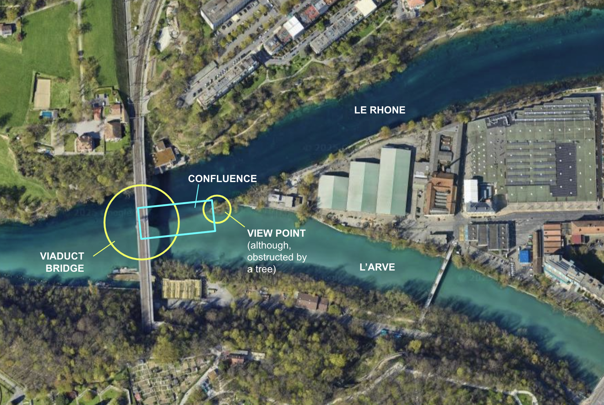 Screenshot from Google Maps (with my own labels)
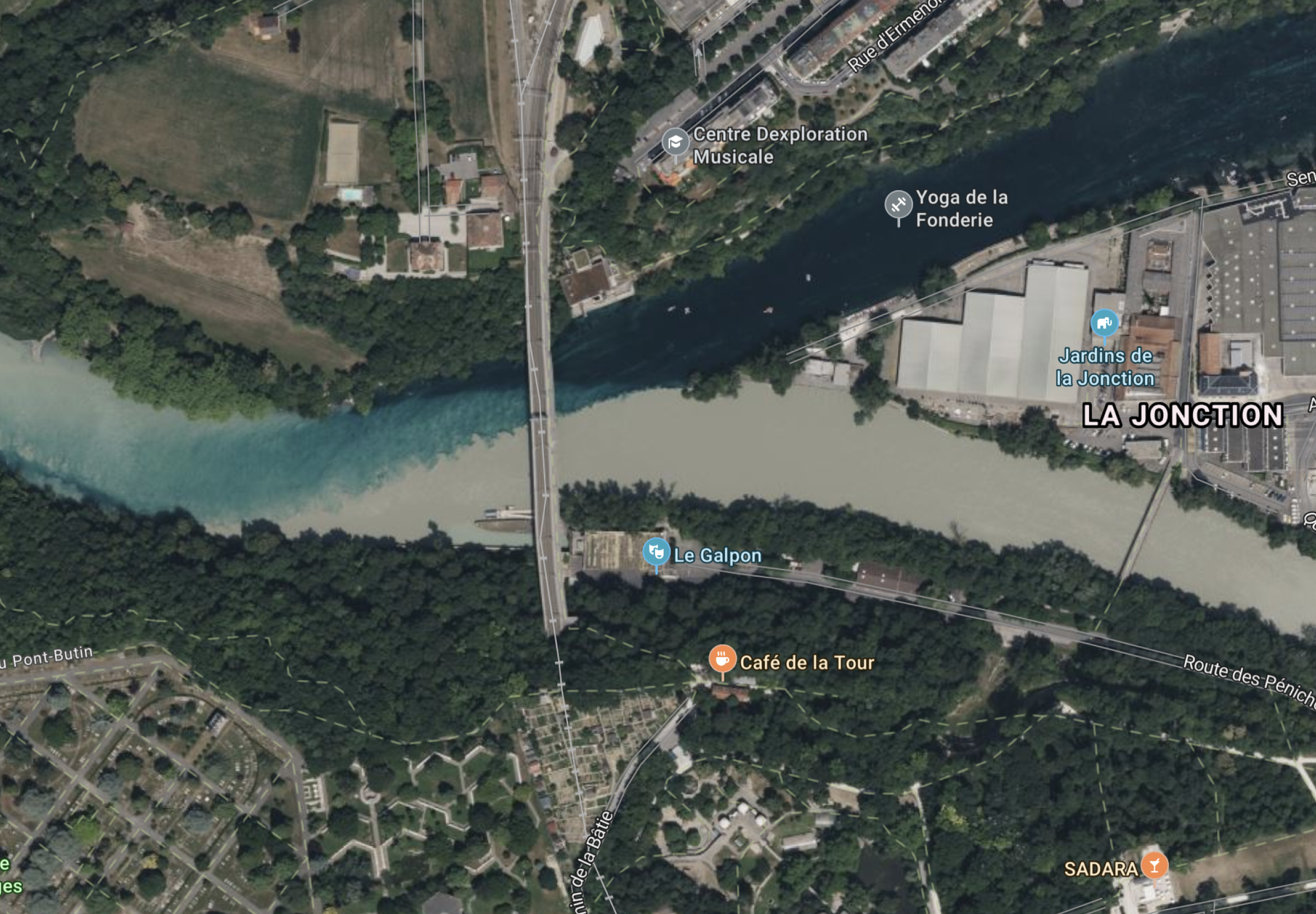 Screenshot from Bing
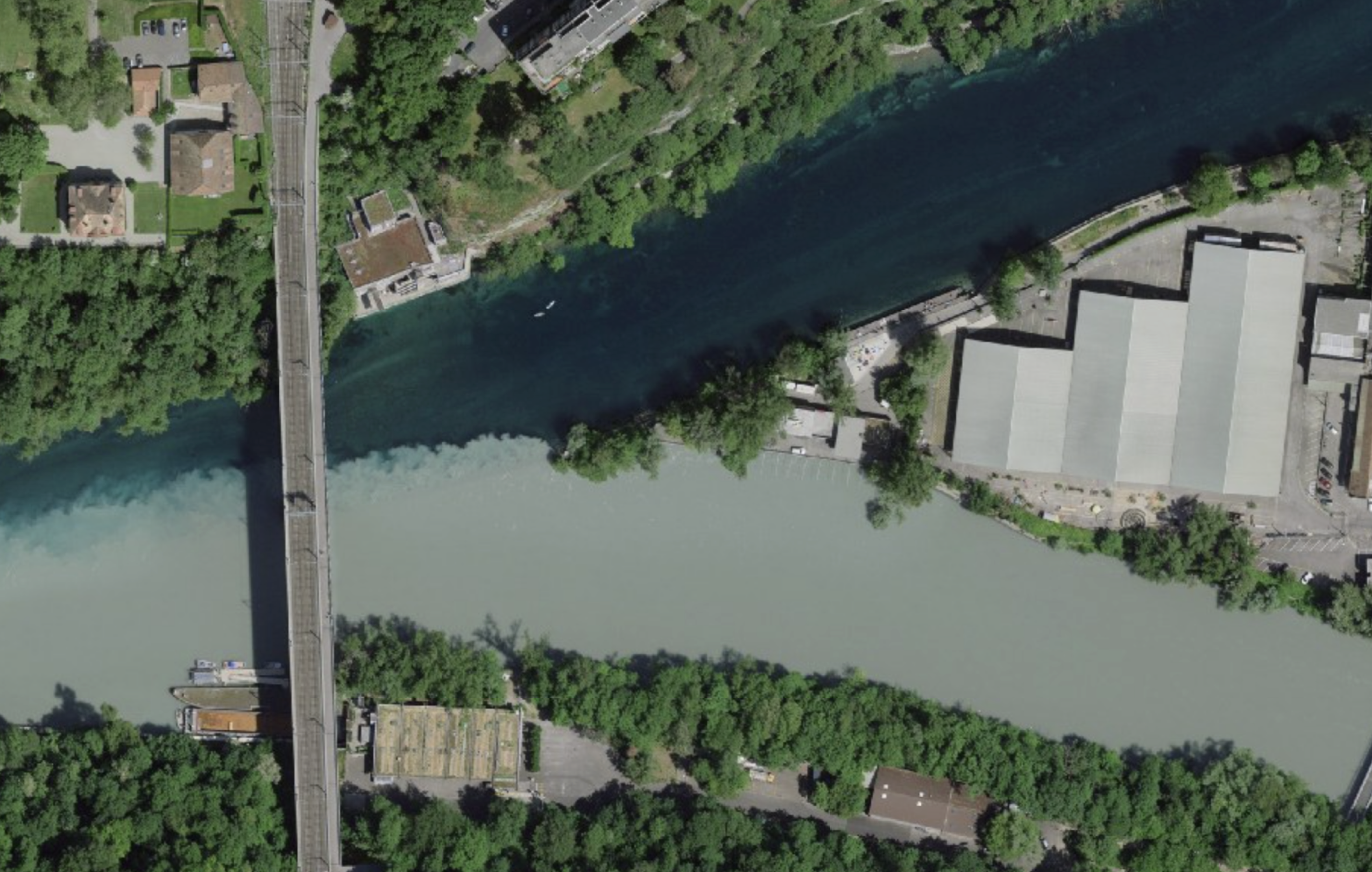 Screenshot from geo.admin.ch
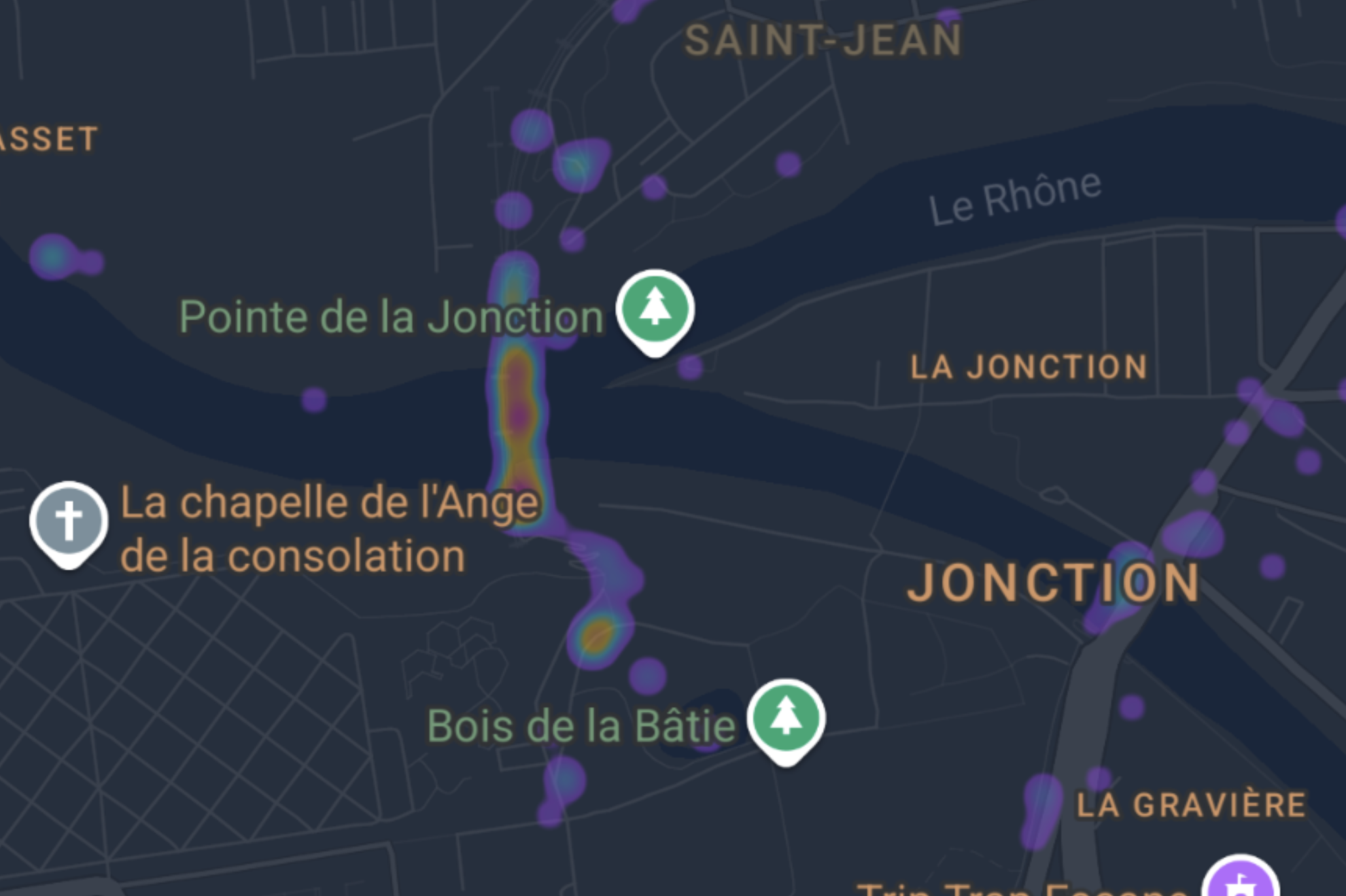
Photo Heat Map
Not that I need to prove my obsession with this particular area, but I've been taking photos on the viaduct since day 2 being in Geneva.
 From Google Photos
Cartography
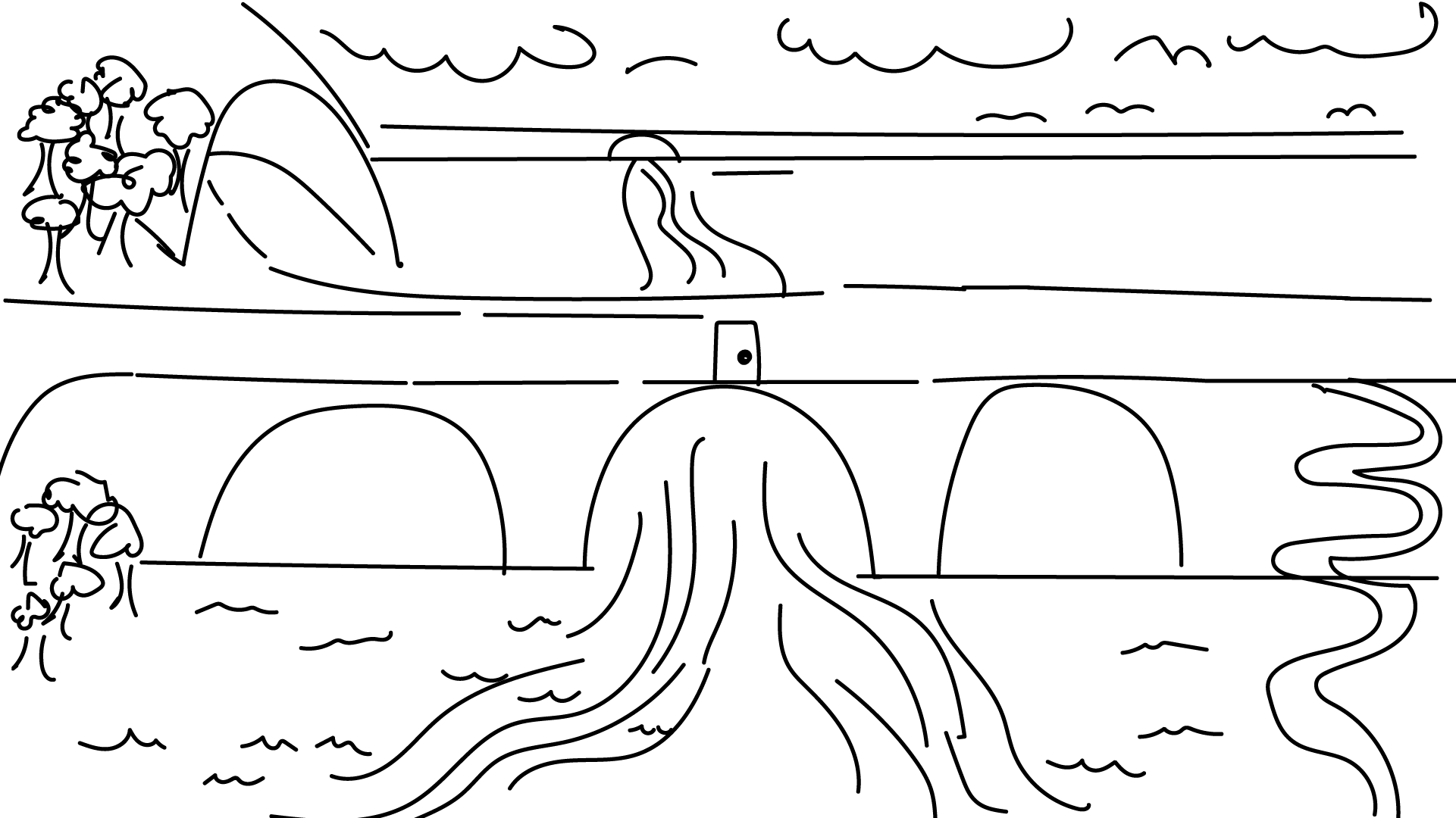
A historical perspective. So far these are from 1899, 1934 and 1945. These show the first map of Geneva on record from the government to a map before the bridge was built to after it was built. Eventually would like to do a "time-lapse" of all the maps as I've been also been exploring with time in my photographic approaches.
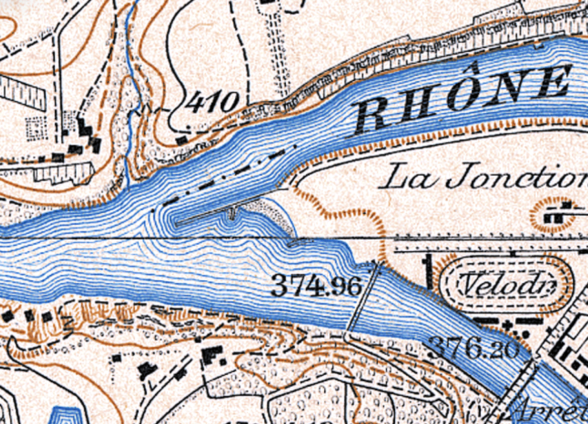 From geo.admin.ch
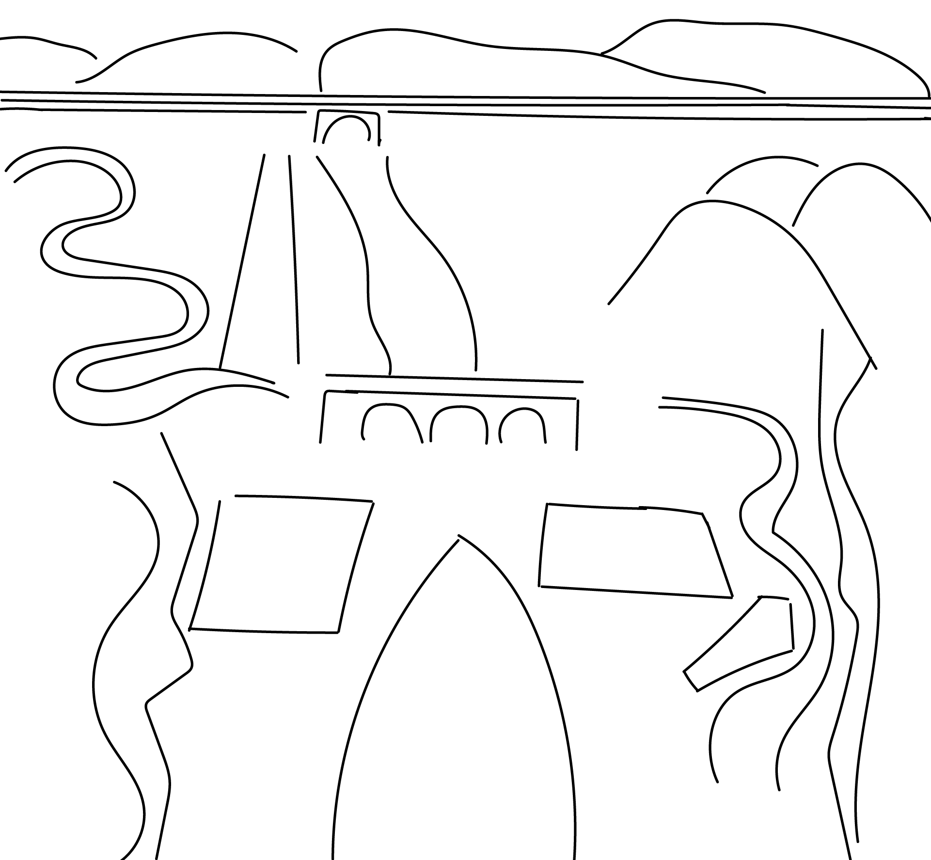
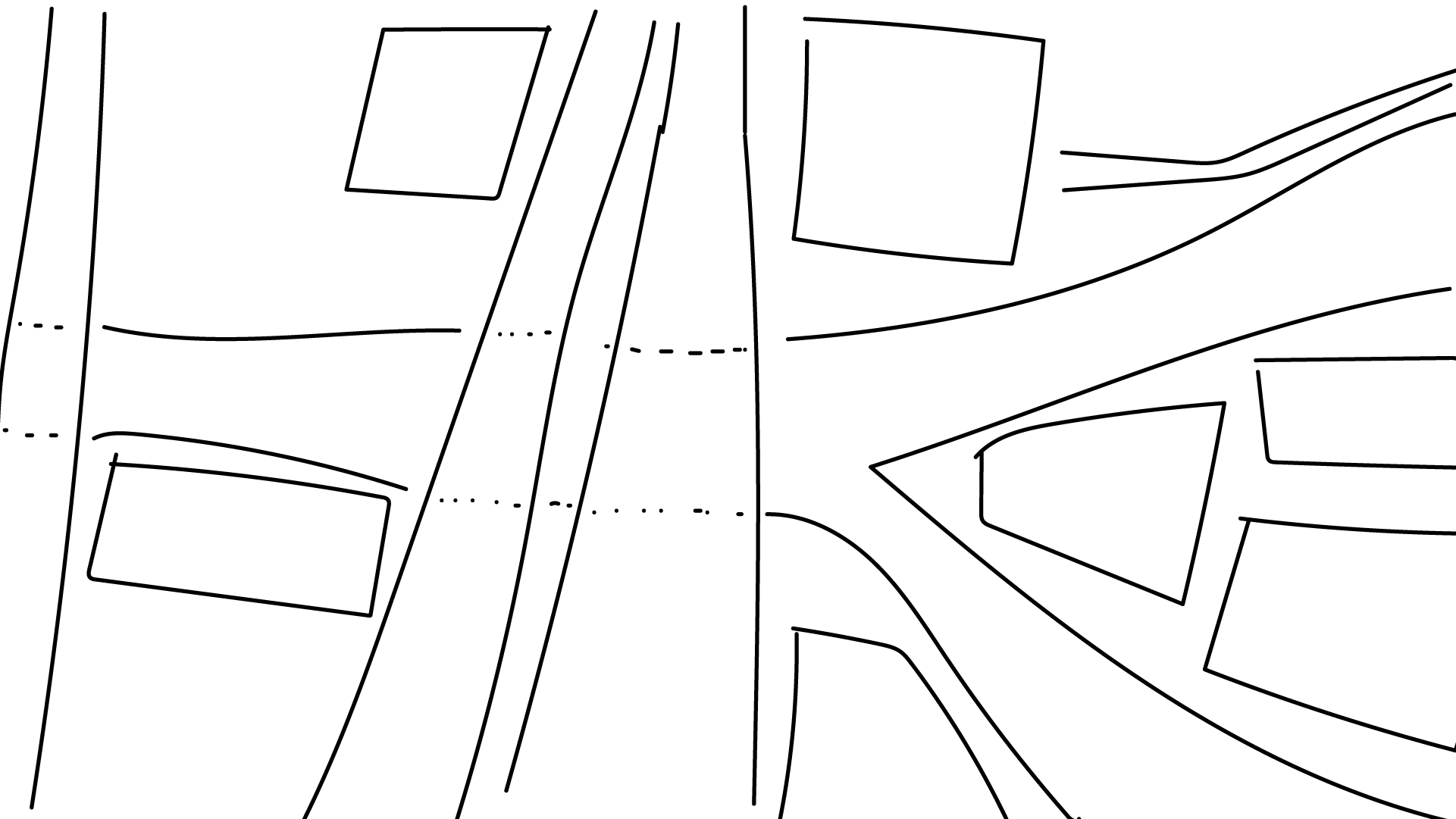
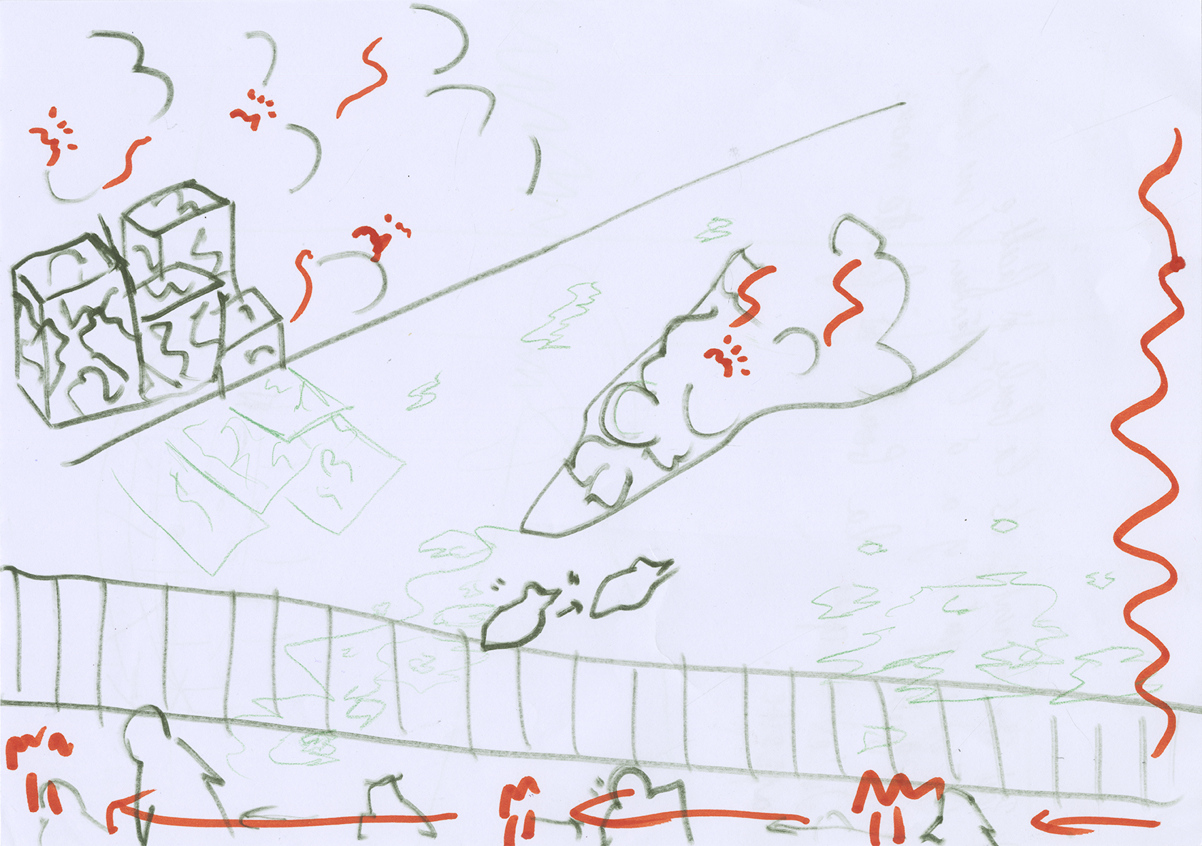
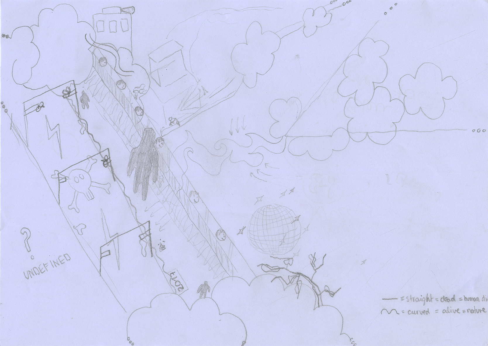
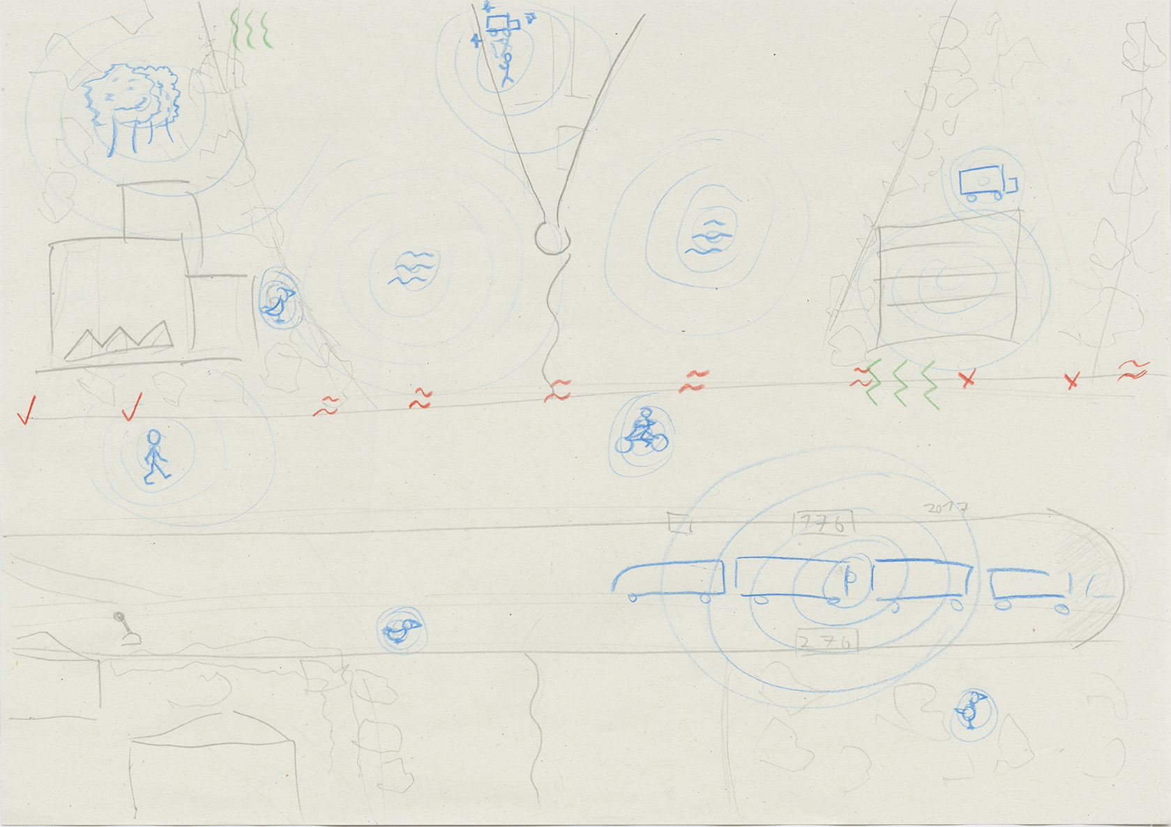
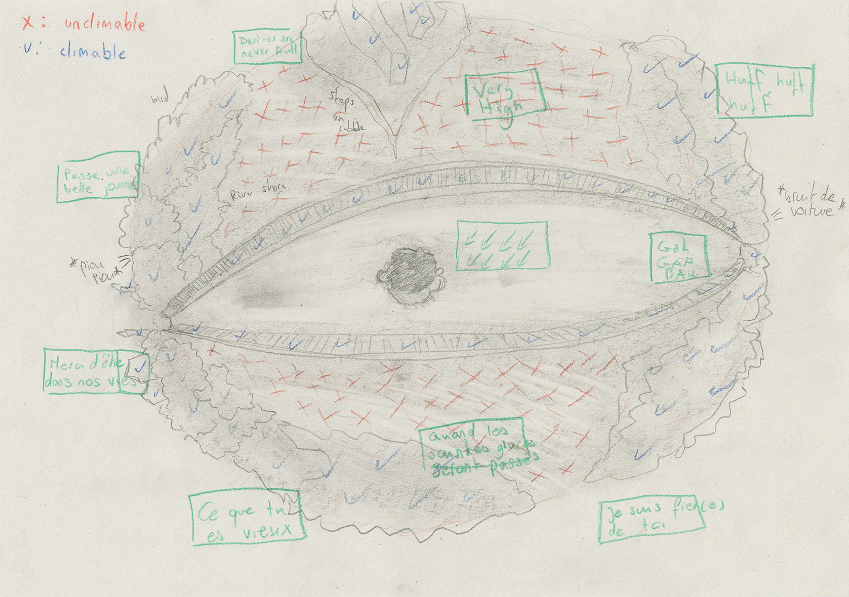
Psychogeographic Maps
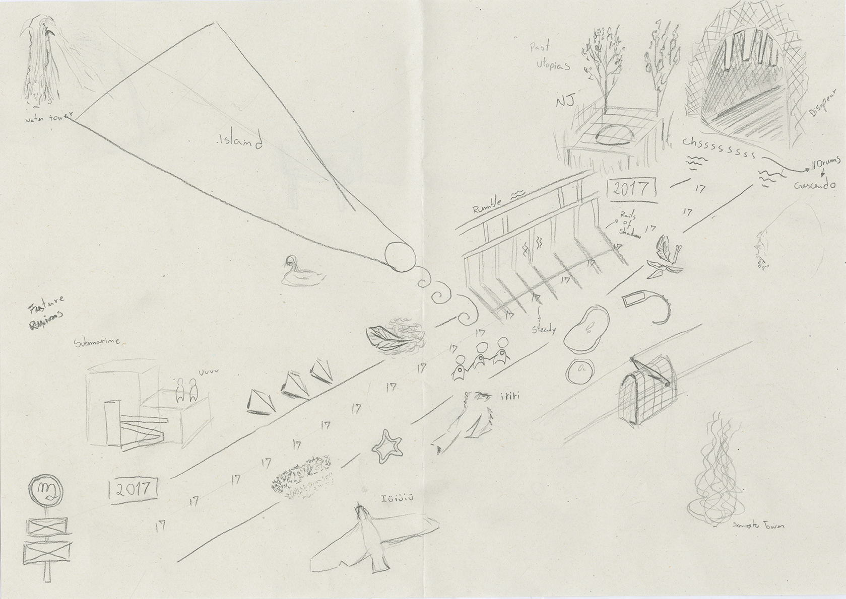
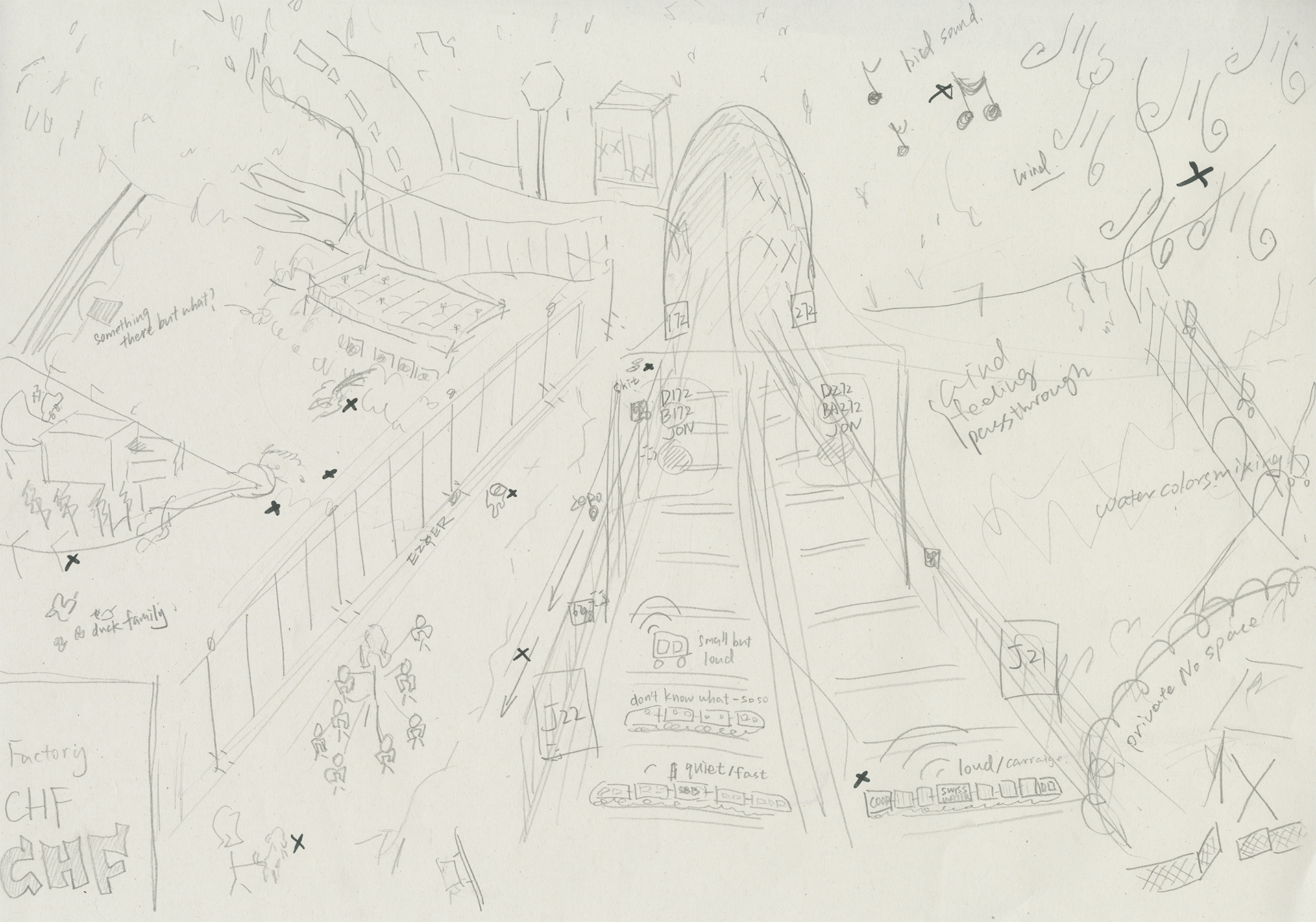
In the Virtual Reality workshop, our prof Sabrina Calvo took us to La Jonction for field observation. The context was to help us with world building within our VR games. We walked back and forth the viaduct three times in complete silence without the use of our mobile devices. Afterwards, we sat on the bridge to jot down our notes. Afterwards we went down to the newly built foot bridge and went to a small little rocky beach by the Rhône to listen to the sounds of the area. Later in the afternoon we created maps based on our notes and memories.
My maps are based on Exercice #4: Arpentages from the book Exercices D'Observation by Nicolas Nova. Some of these are between sketching, drawing and mapping.
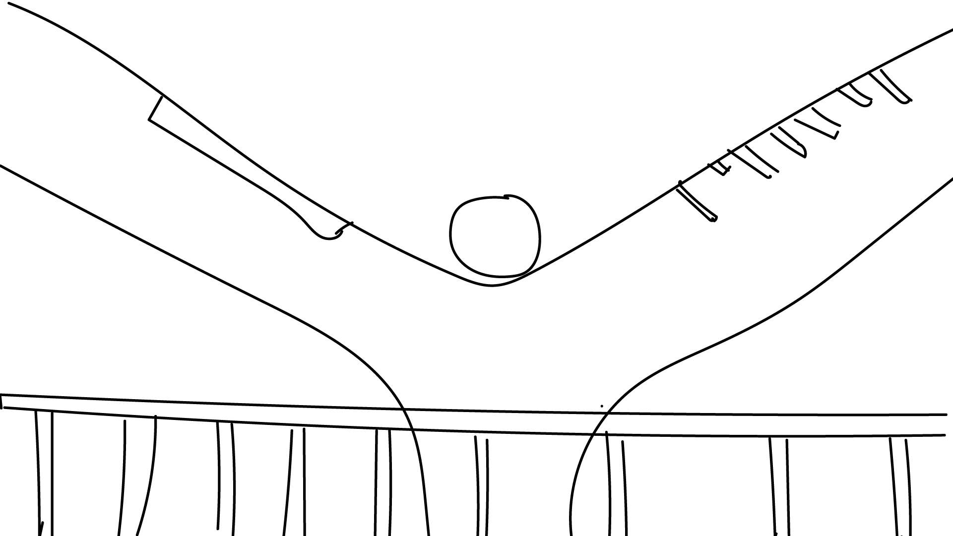 Line Map 1
 Line Map 2
 Line Map 3
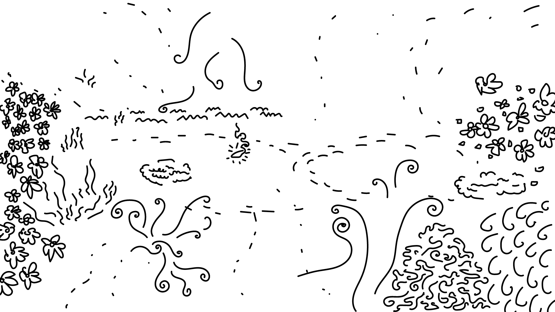
 Sound Map
 Landmark Map
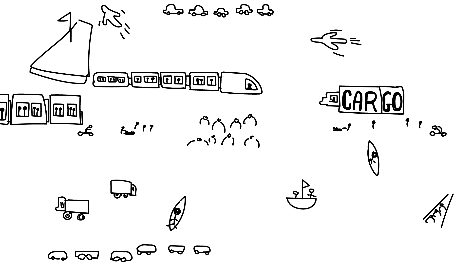 Vehicles and People Map
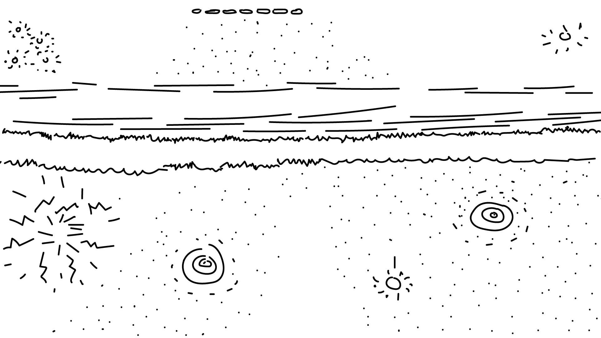
 Odour Map
 Sound + Landmark + Vehicles and People + Odour Maps
In contrast to the satelitte and cartographic maps, these psychogeographic maps are personal and objectively incorrect. Instead, they try to capture the essence through the line drawings or compartementalizing the location into their individual components. This is my individual experience not just from this exercise but from a culimination of going along this path on a daily basis.
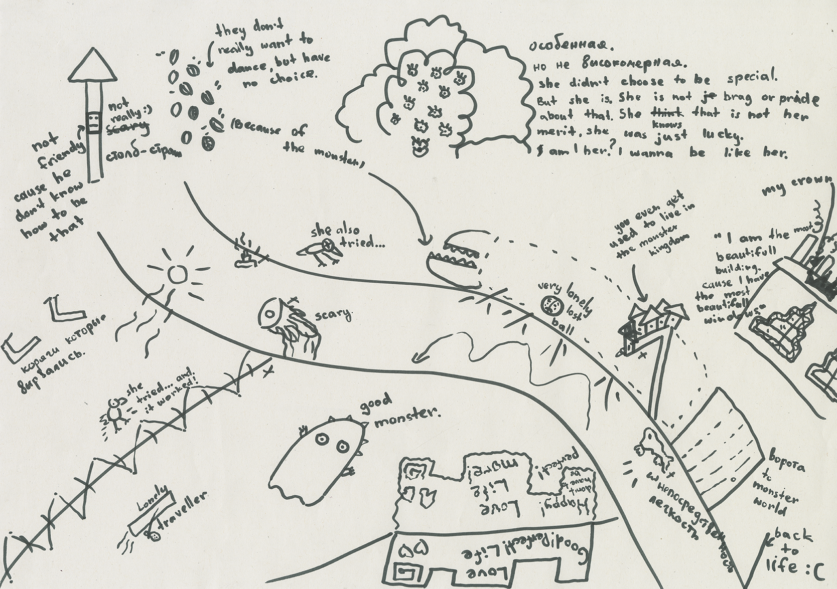
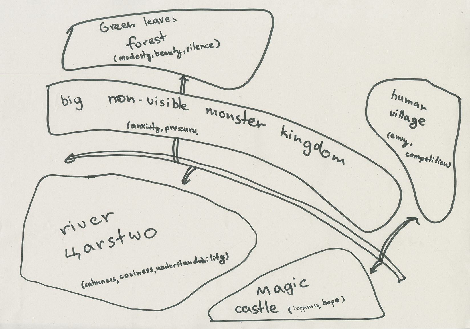
The following are maps from my classmates. Some are from Geneva who are familiar with the area while for some, this is their first time experiencing the area.
Bibliography
NOVA, Nicolas, 2022. Exercices d’observation: dans les pas des anthropologues, des écrivains, des designers et des naturalistes du quotidien. Paris : Premier parallèle. La vie des choses. ISBN 978-2-85061-141-4.
← Back to garden